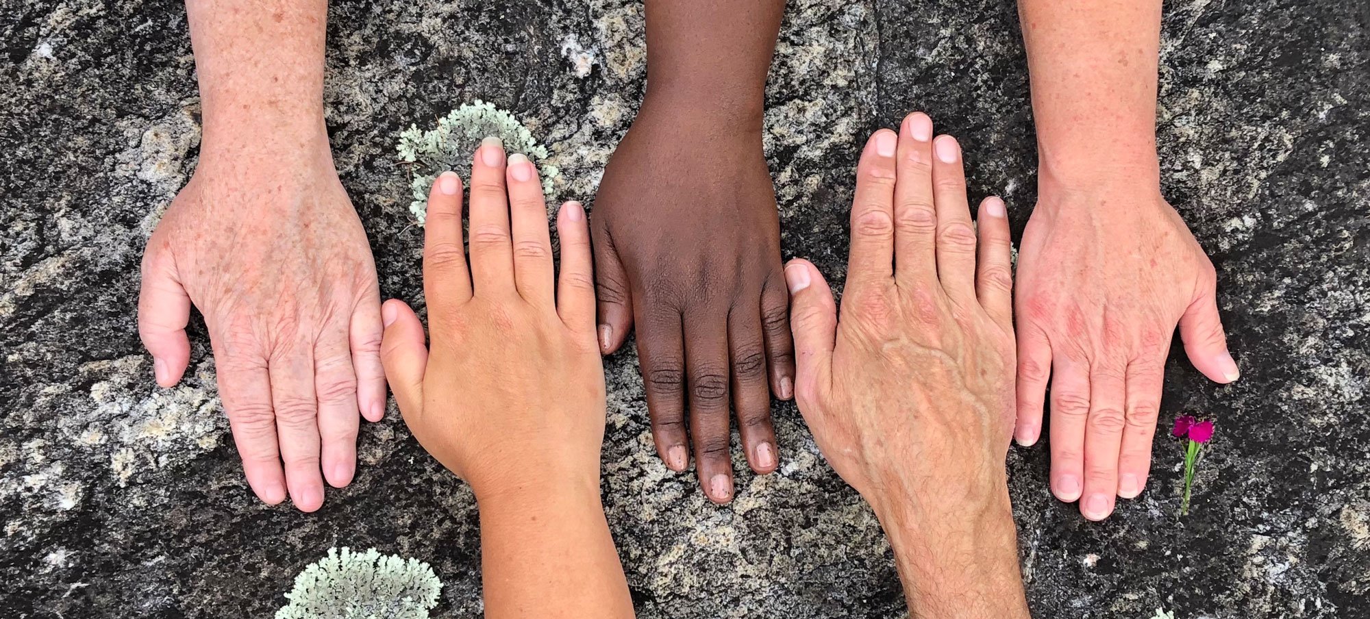
The Great Flat Rock

“I have people ask me constantly where the rock is.”
Louise Howe Bailey
Author and Flat Rock historian
A very common question from visitors to Flat Rock concerns the exact location of the expanse of rock for which the Village is named. If they are standing anywhere near the intersection of Little River Road and Greenville Highway, you might just suggest they look under their feet for the answer.
The origin of the Village’s name has been addressed by several notable Flat Rock and Henderson County historians through the years. Here are some of their words in the description of the geological formation that gave our beautiful village of Flat Rock its name.
Jennie Giles has spent most of her life studying the history of Henderson County - including Flat Rock.
Henderson Heritage.com
Flat Rock
Jennie Giles:
“The flat rock was on one of the Cherokee trading paths,” said Freeman Owl of Cherokee during an interview in the mid-1990s. “It was used as a meeting place, where different tribes would come together to settle disputes and trade.”
Owl said the Cherokee in the mountains of North Carolina and Tennessee would trade with the Cherokee in the lowlands of South Carolina and Georgia and also with the Catawba Indians at the “flat rock.” “The trading would take several days, so entire families would come,” he said.
Legends and stories in early histories of the county state the flat rock was used for ceremonies and that women and children accompanied Indian hunting parties. But, according to Owl and Cherokee customs and history, women and families did not accompany hunting parties and there is no tradition or history among the Cherokee of the flat rock being used for any type of sacred ceremony.
The flat rock is reported to have been at or near the intersection of several prominent Indian trails used in the centuries prior to the arrival of European settlers.
Henderson Heritage.com
American Indians
Jennie Giles:
The “flat rock” in Flat Rock … was at the top of the Saluda Trail, a major Indian trading path connecting several tribes from South Carolina to Virginia.)
An early chronicler of Flat Rock’s origins was Sadie Smathers Patton. She mentions other ancient trails in the area including Crab Tree Creek Path and Willow Trail that ran along Willow Creek. Her description of the great flat rock is the most colorful - if not politically correct by today’s standards or completely accurate in every detail.
Flat Rock
The Little Charleston of the Mountains
Sadie Smathers Patton, 1961
Along well-traveled paths, where the mighty and now long-extinct buffalo had laid down a track through the forests, crossing streams to seek the easiest and most accessible routes to the fresher feeding grounds, the Cherokee Indians made their way afoot. From every part of the surrounding mountains, many of these old worn trails apparently converged at the great rocky plateau from which white man’s settlement later received its name - Flat Rock
Flat Rock, like many other places in western North Carolina, appears to have been a vacation spot for members of the tribe. Here, according to old traditions, the Cherokee women and children were left under the guardianship of elders of the tribe, at campsites located among the peaceful hills while their braves were away engaged in hunting or in battle with enemy tribes.

Perhaps the most prominent Flat Rock historian, Louise Howe Bailey also indicated that the earliest visitors from “Charles Towne” in the low country also conducted business with the Native Americans on the rock.
A Short History of Flat Rock
Village of Flat Rock Website
Louis Howe Bailey
Historians wrote of merchants from the seaport of Charles Towne (now Charleston) meeting with Cherokee braves on the "Great Flat Rock" to trade beads and trinkets and sometimes ammunition for valuable hides and furs to ship to European markets. In 1807, the ‘great flat rock" gave its name to the pioneer settlement that was growing up around it.
The Revolutionary War proved to be a dramatic, and disastrous change of fortune for the Native Americans who frequented the great flat rock. From her book, Flat Rock, author Galen Ruether writes.
Flat Rock
Galen Reuther, 2004
The Revolutionary War was brewing and the Cherokee sided with the British against the hardy Americans. After the country won its independence, the Cherokee were a defeated people and found that their vacation land was no longer theirs. North Carolina ceded all the land that belonged to the Cherokee to the national government in 1783. Among the earliest settlers of record was Capt. Abraham Kuykendall, who had discovered Flat Rock during expeditions in search of Tories and Native Americans during the war.
The government issued land grants to veterans who had served their country valiantly. Kuykendall entered a request for a land grant in 1779. Around 1790, land grants were issued to Kuykendall and Col. John Earle. Captain Kuykendall and his family and servants moved to Flat Rock, and he went on to acquire thousands of acres.
Sadie Smathers Patton writes in her book about the first official references to Flat Rock.
A new Buncombe County was created in 1792, embracing all the lands which had once formed the Cherokee kingdom, from Rutherfordton and Burke Counties to the Tennessee line. As its officials began their work of organizing this new political subdivision, on the first roads ordered by the Court was “to be laid out and constructed the nearest and best way from the ford of Cane Creek to the flat rock near blue ridge,…”
In 1794, a tract of 575 acres was issued that spanned from the current Mud Creek graveyard to Trenholm Mountain. The tract was further divided in 1807 and the eastern portion of the tract was known to earliest setters as the Flat Rock tract.
As a result of that subdivision of the tract, 1807 is now considered to be the date Flat Rock was established.
Abraham Kuykendall opened an inn, a tavern, and a mill. John Earl operated a grist mill and a lumber mill, and perhaps most significantly, he is credited with opening the Old Buncombe Turnpike that ran through what was to become Flat Rock, NC. With the rudiments of “modern” infrastructure in place, Flat Rock was now ready to welcome some very prominent and very well-heeled tourists.
One of the first people to chronicle the early years of Flat Rock was Alicia Middleton Trenholm who wrote an early history of the Village in 1908.
Flat Rock North Carolina: A Sketch of the Past
Alicia Middleton Trenholm
The Lodge, April 1908
About 90 years ago, a few friends from Charleston, SC, took the trip here to look for a suitable location for a summer resort. They finally decided upon the plateau, upon which Flat Rock later materialized, as most desirable for many reasons. The scenery being beautiful; for the peaks of the Appalachian ranges could be seen in the far distance, melting into the horizon.
The fine climate and delightful water were great inducements, also the fact that good roads were possible, the country being not too mountainous, which in the days of difficult transportation meant a great deal.
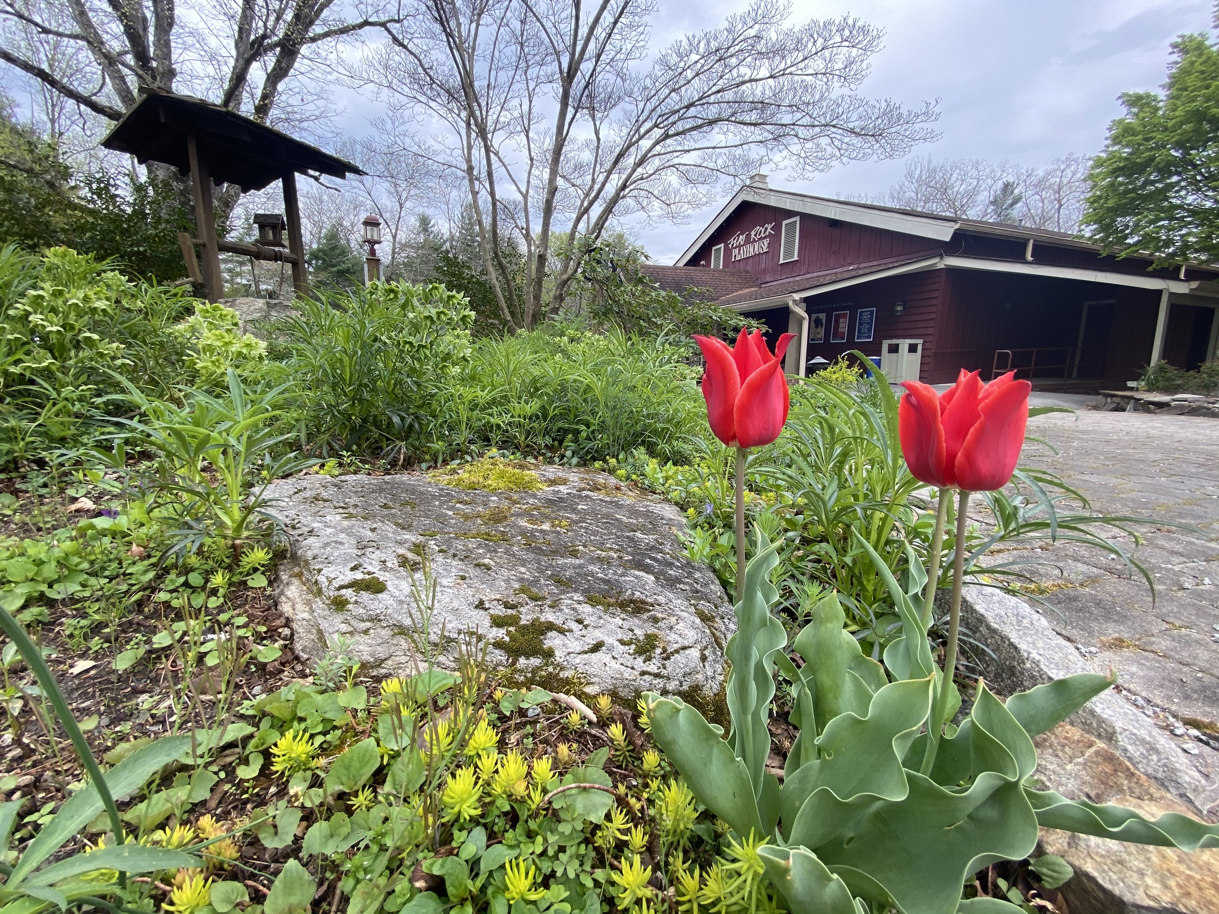
As Flat Rock continued to grow, it did so right on top of the great flat rock. Today the campus of Flat Rock Playhouse spans much of the exposed rock. The Blue Ridge Fire Department sits on the rock, and Greenville Highway was actually constructed in part by blasting through and using parts of the granite outcropping.
Henderson heritage.com
Flat Rock
Jennie Giles
Look down at the ground and note the granite outcroppings the next time you visit the Flat Rock Playhouse in the village of Flat Rock. Picnic tables sit on “the rock.” Houses, grass, roads and buildings now cover most of the large “flat rock” for which the village takes its name. But the large granite rock can still be seen in places.
Pieces of it may be seen in the low granite wall of drystone construction along the west side of the Greenville Highway. alongside the Flat Rock Playhouse property. Louise Bailey remembers when they widened the road, saying that they had a “devil of a time” jackhammering all the granite under the roadbed. Much of that blasted stone was used in the wall and the rest of it hauled away for other purposes.
The granite rock is everywhere. The rock can be seen in front of the Blue Ridge Fire Department’s substation near the Village Hall.
Longtime county residents held church picnics on the rock. Schoolchildren who attended the former Flat Rock High School and Flat Rock Junior High remember the rock well. Field days and picnics were held there. The rock could be seen near the old ball field, where houses are built today. The Singleton Centre is located at the old school.
Today, the “great flat rock” has been largely obscured by vegetation and development. But the granite formation lies at the very heart of our Village, and it is safe to say that it will remain long after the buildings that currently stand on its broad shoulders and the people who walk past it or drive over it are gone. Perhaps it will end up being the one constant throughout the history of our Village.